
The remaining evidence from ancient sites indicates the settlement and life of humans in this area since prehistoric times. Gonabad is one of the ancient cities of Iran, which, due to its strategic location, has always been of interest to rulers, even during the Achaemenid era. The Gonabad Qanat, which fascinated Nasir Khusraw with its grandeur and is attributed by some to Bahman, son of Esfandiar, son of Goshtasp, son of Lohrasp, is a symbol of prosperity and vitality in this region since ancient times. It is worth mentioning that this Qanat is the first and only UNESCO World Heritage Site in Razavi Khorasan Province. Moreover, in the narratives of the Shahnameh, Gonabad was a land of wars and epics in the mythical era, and some of its regions are mentioned in this masterpiece. For example, the battlefield of the “Twelve Rukh War” is said to be in a place known as Dar-Soufeh in Gonabad and the Zibad Plain, where the Iranians were positioned on Konabad Mountain (the old name of Gonabad) and the Turanians on the Zibad Plain.
Gonabad, located about 260 km south of Mashhad, hosts many historical and natural attractions. Among its numerous ancient monuments, 140 have been registered on Iran’s National Heritage List. In addition, Gonabad is the birthplace of great figures such as Allameh Behloul Gonabadi, Khwaja Ekhtiar Monshi Gonabadi, Abu Mansur Riabi, Professor Pakdaman, and many other national notables.
Brief Overview of Bajestan’s History:
Bajestan County, with its many ancient sites, also has a long history, possibly dating back to the Achaemenid era. In the past, this city was called Bozestan, Bezestan, or Bezhestan, and some historians believe it was founded by Sam Nariman, the legendary Iranian hero. Others believe that the name Bajestan or “Baghestan” (Land of the Gods) indicates its ties to pre-Zoroastrian traditions. The first Muslim geographer to mention it was Yaqut al-Hamawi. Bajestan was highly significant during the Timurid period, and its prestige was such that rulers and nobles prevented Timur himself from destroying it. In the Qajar era, Bajestan flourished as a hub of trade and commerce. Its prosperity was supported by an extensive network of roads and caravanserais such as Fakhrabad, Qasemabad, Zeynabad, and others. Due to the importance of its cultural heritage, the file for the “Mazār Monastery,” one of the country’s remarkable rock-cut monuments, has been prepared for UNESCO World Heritage registration.
Natural Geography of Gonabad:
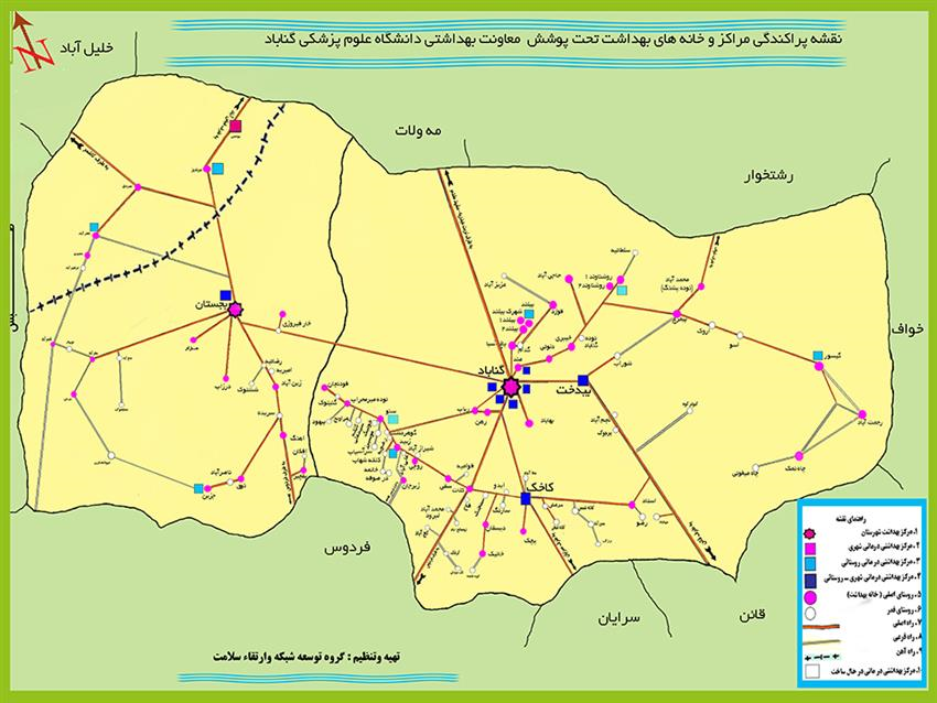
Gonabad County, with an area of 5,767.79 km² (5% of the province), is located in the south of Razavi Khorasan Province, at longitude 58°41′ and latitude 34°21′, with an average elevation of 1,105 meters above sea level. Its strategic location makes it a transportation hub: routes connecting Mashhad to Zabol and Zahedan (eastern Iran), Mashhad to Kerman and Bandar Abbas (southern Iran), and Mashhad to Yazd and Isfahan (central Iran) pass through it.
It borders Torbat Heydarieh and Kashmar to the north, Torbat Heydarieh and Khaf to the east, Qaen and Ferdows to the south, and Ferdows and Tabas to the west. Gonabad lies in a wide plain sloping gently to the north. In the past, its water supply for drinking and agriculture came from qanats, and the city expanded along their paths. The region is semi-desert and mountainous, with its only notable river being the Kal Shur, which carries non-drinkable water.